GIS- remote sensing COURSE
Category
GIS
- List Item #3
GIS
GIS and remote sensing are two powerful technologies used in geospatial analysis and mapping. Integrating these technologies with gaming engines has opened up new possibilities in the visualization and interpretation of geospatial data. GAME, which stands for Gaming and Advanced Mapping Environment, is a software platform that combines GIS and remote sensing functionalities with game engine technology. GIS Courses are trending and boost your resume.
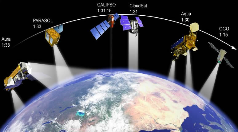
The use of GIS in remote sensing enables spatial data analysis at a much larger scale than traditional methods. Remote sensing data can be used to create high-resolution maps of terrain, vegetation, and other features of the earth’s surface. GIS is used to manage, analyze and visualize this data, allowing users to extract valuable information from the images.
